187 LIBERTY ST
Owner Information
GOODSON MICHAEL A
187 LIBERTY ST
NORTH ADAMS, MA 01247


Property Details
187 LIBERTY ST is classified as a Two-Family Residential (Old style).
The primary structure on this property was built in 1870. There are 2,321ft2 of built area within this property. There is 2,321ft2 of residential/living space within this property. This property is listed as having 10 rooms. There are 2 units within this property.
187 LIBERTY ST is valued at $201,700. The land is valued at $34,800 and the structures are valued at $164,000. There is an additional valuation of $2,900 on this property.
The most recent deed for 187 LIBERTY ST is recorded at the local registrar in Book 1304, Page 462. 187 LIBERTY ST was last sold on Friday, August 24, 2007 for $50,000.
Assessment data from fiscal year 2022.
Flood Data
According to the FEMA National Flood Hazard Layer, this property does not appear to be in a flood zone. It may also be in an area not yet reviewed. Nonetheless, confirm this information prior to taking any action.
To view the flood hazards around this property, create a FEMA "Firmette" Map of the area around 187 LIBERTY ST.
Broadband Internet Providers
| Provider | Type | Bandwidth (mbps) | |
|---|---|---|---|
| VSAT Systems, LLC. | Satellite | 2 | 1 |
| GCI Communication Corp. | Satellite | 0 | 0 |
| Charter Communications Inc | Cable | 940 | 35 |
| TPx Communications | Copper Wire | 0 | 0 |
| Verizon New England Inc. | DSL | 15 | 1 |
| HughesNet | Satellite | 25 | 3 |
| Viasat Inc | Satellite | 35 | 3 |
Broadband service provider data from December 2020.
Adjacent Properties
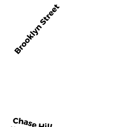
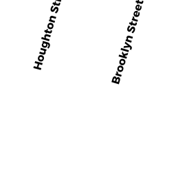
- 0 BROOKLYN ST
Undevelopable Residential Land owned by GOODSON MICHAEL A - 230-232 HOUGHTON ST
Apartments with Four to Eight Units owned by BERKSHIRE GATEWAY - 220 -226 HOUGHTON ST
Three-Family Residential owned by SCARBO DANIEL J - 167 LIBERTY ST
Single Family Residential owned by LAVIGNE MICHEAL - 32 BROOKLYN ST
Two-Family Residential owned by BURZIMATI FRANK X &